ABSOLUTEASTRONOMY
Create a free discussion account!
Signup
Login
x
Home
Search
Topics
Almanac
Science
Nature
People
History
Society
Signup
Login
ABSOLUTEASTRONOMY
HOME
TOPICS
ALMANAC
SCIENCE
NATURE
PEOPLE
HISTORY
SOCIETY
PHILOSOPHY
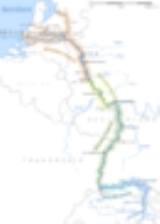
Rhine
Topic Home
Discussion
1
Timeline
Definition
Overview
x
OK