

List of cities and towns in Montana
Encyclopedia
→Below is a complete list of cities and towns in Montana, arranged in alphabetical order. This list does not include unincorporated places
or census designated places. For a list of all places, see List of places in Montana.
In Montana
, municipalities
are divided into classes by state statute
. The classification scheme is based on the population of each municipality. Members of the three largest classes are deemed cities
, while the members of the fourth class are called town
s. Cities and towns are classified at the time of their organization, and are reorganized when they change classification due to an increase or decrease in population. Unincorporated places and census designated places fall outside of this scheme, and are subject to county governance, and thus are not towns or cities.
A place may incorporate as a town when its population reaches 300 people. A municipality with a population between 1,000 and 5,000 people is a Third Class city. A municipality with a population between 5,000 and 10,000 people is a Second Class city. And a municipality with a population over 10,000 people is a First Class city. Under certain exceptions municipalities with a population of between 9,000 and 10,000 may elect, by resolution to be either a First or Second Class city. Under similar exceptions municipalities with a population of between 5,000 and 7,500 may elect, by resolution to be either a Second or Third Class city. And finally, municipalities with a population of between 1,000 and 2,500 may, by resolution be classified as either a town or Third Class city.
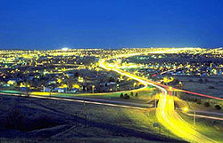
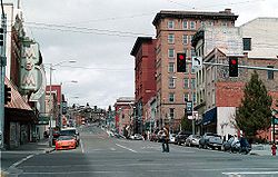


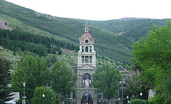


 Largest Cities In Montana
Population data based on 2010 city related-census.
Unincorporated area
In law, an unincorporated area is a region of land that is not a part of any municipality.To "incorporate" in this context means to form a municipal corporation, a city, town, or village with its own government. An unincorporated community is usually not subject to or taxed by a municipal government...
or census designated places. For a list of all places, see List of places in Montana.
In Montana
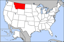
Montana
Montana is a state in the Western United States. The western third of Montana contains numerous mountain ranges. Smaller, "island ranges" are found in the central third of the state, for a total of 77 named ranges of the Rocky Mountains. This geographical fact is reflected in the state's name,...
, municipalities
Municipality
A municipality is essentially an urban administrative division having corporate status and usually powers of self-government. It can also be used to mean the governing body of a municipality. A municipality is a general-purpose administrative subdivision, as opposed to a special-purpose district...
are divided into classes by state statute
Statute
A statute is a formal written enactment of a legislative authority that governs a state, city, or county. Typically, statutes command or prohibit something, or declare policy. The word is often used to distinguish law made by legislative bodies from case law, decided by courts, and regulations...
. The classification scheme is based on the population of each municipality. Members of the three largest classes are deemed cities
City
A city is a relatively large and permanent settlement. Although there is no agreement on how a city is distinguished from a town within general English language meanings, many cities have a particular administrative, legal, or historical status based on local law.For example, in the U.S...
, while the members of the fourth class are called town
Town
A town is a human settlement larger than a village but smaller than a city. The size a settlement must be in order to be called a "town" varies considerably in different parts of the world, so that, for example, many American "small towns" seem to British people to be no more than villages, while...
s. Cities and towns are classified at the time of their organization, and are reorganized when they change classification due to an increase or decrease in population. Unincorporated places and census designated places fall outside of this scheme, and are subject to county governance, and thus are not towns or cities.
A place may incorporate as a town when its population reaches 300 people. A municipality with a population between 1,000 and 5,000 people is a Third Class city. A municipality with a population between 5,000 and 10,000 people is a Second Class city. And a municipality with a population over 10,000 people is a First Class city. Under certain exceptions municipalities with a population of between 9,000 and 10,000 may elect, by resolution to be either a First or Second Class city. Under similar exceptions municipalities with a population of between 5,000 and 7,500 may elect, by resolution to be either a Second or Third Class city. And finally, municipalities with a population of between 1,000 and 2,500 may, by resolution be classified as either a town or Third Class city.
Population data based on 2010 city related-census.
Largest Cities In Montana (2010).
County Seats State Capital |
|---|