
.gif)
The Needles (Sequoia National Park)
Encyclopedia
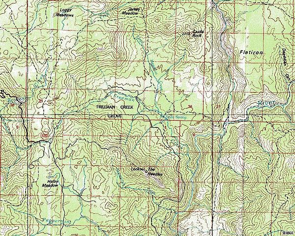
The Needles are a series of massive granite rock formations rising up from the North Fork of the Kern River
near its junction with the Little Kern River. The Needles Lookout is located 2.5 miles off the Western Divide Highway (State Route 190
) 10 miles north of Mountain Road 50. Johnsondale, California
is the nearest town, with the Camp Whitsett, BSA camp around 4 miles from Johnsondale. On July 28, 2011, the Needles lookout, constructed in 1937-1938 by the Civilian Conservation Corps
, was destroyed in a structure fire. The lookout tower stood atop the rock formation at 8,245 feet.
Kern River
The Kern River is a river in the U.S. state of California, approximately long. It drains an area of the southern Sierra Nevada mountains northeast of Bakersfield. Fed by snowmelt near Mount Whitney, the river passes through scenic canyons in the mountains and is a popular destination for...
near its junction with the Little Kern River. The Needles Lookout is located 2.5 miles off the Western Divide Highway (State Route 190
California State Route 190
State Route 190 is a state highway in the U.S. state of California that is split into two parts by the Sierra Nevada. The western portion of begins at Tipton at a junction with State Route 99 and heads east towards Porterville before ending at Quaking Aspen in the Sequoia National Forest...
) 10 miles north of Mountain Road 50. Johnsondale, California
Johnsondale, California
Johnsondale is an unincorporated community in Tulare County, California, United States. Johnsondale is northeast of California Hot Springs. A post office opened in Johnsondale in 1939. The community is named after Walter Johnson of the Mount Whitney Lumber Company....
is the nearest town, with the Camp Whitsett, BSA camp around 4 miles from Johnsondale. On July 28, 2011, the Needles lookout, constructed in 1937-1938 by the Civilian Conservation Corps
Civilian Conservation Corps
The Civilian Conservation Corps was a public work relief program that operated from 1933 to 1942 in the United States for unemployed, unmarried men from relief families, ages 18–25. A part of the New Deal of President Franklin D...
, was destroyed in a structure fire. The lookout tower stood atop the rock formation at 8,245 feet.