

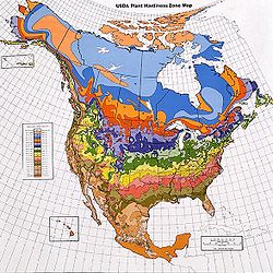
Dasymetric map
Encyclopedia
Cartographers use dasymetric mapping for population density over other methods because of its ability to realistically place data over geography. Considered a hybrid or compromise between isopleth and choropleth map
Choropleth map
A choropleth map A choropleth map A choropleth map (Greek χώρος + πληθαίν:, ("area/region" + "multiply") is a thematic map in which areas are shaded or patterned in proportion to the measurement of the statistical variable being displayed on the map, such as population density or per-capita...
s, a dasymetric map utilizes standardized data, but places areal symbols by taking into consideration actual changing densities within the boundaries of the map. To do this, ancillary information is acquired, which means the cartographer steps statistical data according to extra information collected within the boundary. If appropriately approached it is far superior to choropleth maps in relaying statistical data within areas of interest. Dasymetric mapping corrects for error, termed "ecological fallacy
Ecological fallacy
An ecological fallacy is a logical fallacy in the interpretation of statistical data in an ecological study, whereby inferences about the nature of specific individuals are based solely upon aggregate statistics collected for the group to which those individuals belong...
", that may occur with choropleth mapping.
Like other forms of thematic mapping, the dasymetric method was created and historically used because of the need for accurate visualization methods of population data. Dasymetric maps are not widely used because of the limited options for producing them with automated tools such as Geographic Information System
Geographic Information System
A geographic information system, geographical information science, or geospatial information studies is a system designed to capture, store, manipulate, analyze, manage, and present all types of geographically referenced data...
s. Although fields such as public health still rely on choropleth maps, dasymetric maps are becoming more prevalent in developing fields, such as conservation and sustainable development. Researchers in various fields of science are pushing the way for use of so-called critical GIS and to make dasymetric mapping techniques more easily applicable with modern technology.