

Grayridge, Missouri
Encyclopedia
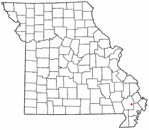
Grayridge is an unincorporated community
Unincorporated area
In law, an unincorporated area is a region of land that is not a part of any municipality.To "incorporate" in this context means to form a municipal corporation, a city, town, or village with its own government. An unincorporated community is usually not subject to or taxed by a municipal government...
in eastern Stoddard County
Stoddard County, Missouri
Stoddard County is a county located in Southeast Missouri in the United States. As of the 2000 U.S. Census, the population was 29,705. A 2008 estimate, however, showed the population to be 29,537. The county seat is Bloomfield while the largest city in the county is Dexter...
, Missouri
Missouri
Missouri is a US state located in the Midwestern United States, bordered by Iowa, Illinois, Kentucky, Tennessee, Arkansas, Oklahoma, Kansas and Nebraska. With a 2010 population of 5,988,927, Missouri is the 18th most populous state in the nation and the fifth most populous in the Midwest. It...
, United States
United States
The United States of America is a federal constitutional republic comprising fifty states and a federal district...
. It is located about ten miles southwest of Sikeston
Sikeston, Missouri
Sikeston is a city located both in southern Scott County and northern New Madrid County, in the U.S. state of Missouri. It is geographically situated just north of the "Missouri Bootheel", although many locals consider Sikeston a part of it. By way of Interstate 55, Sikeston is close to the...
just south of U.S. Route 60
U.S. Route 60
U.S. Route 60 is an east–west United States highway, running from the Atlantic Ocean on the east coast in Virginia to western Arizona. Despite the final "0" in its number, indicating a transcontinental designation, the 1926 route formerly ended in Springfield, Missouri, at its intersection...
.