

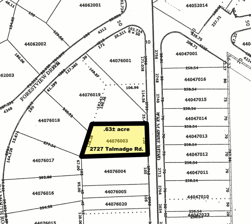
Plat
Encyclopedia
Map
A map is a visual representation of an area—a symbolic depiction highlighting relationships between elements of that space such as objects, regions, and themes....
, drawn to scale, showing the divisions of a piece of land. Other English-speaking countries generally call such documents a cadastral map or plan.
U.S.
United States
The United States of America is a federal constitutional republic comprising fifty states and a federal district...
General Land Office
General Land Office
The General Land Office was an independent agency of the United States government responsible for public domain lands in the United States. It was created in 1812 to take over functions previously conducted by the United States Department of the Treasury...
surveyors drafted township plats of Public Lands Surveys to show the distance and bearing between section corners, sometimes including topographic or vegetation information. City, town or village plats show subdivisions into blocks
City block
A city block, urban block or simply block is a central element of urban planning and urban design. A city block is the smallest area that is surrounded by streets. City blocks are the space for buildings within the street pattern of a city, they form the basic unit of a city's urban fabric...
with street
Street
A street is a paved public thoroughfare in a built environment. It is a public parcel of land adjoining buildings in an urban context, on which people may freely assemble, interact, and move about. A street can be as simple as a level patch of dirt, but is more often paved with a hard, durable...
s and alley
Alley
An alley or alleyway is a narrow lane found in urban areas, often for pedestrians only, which usually runs between or behind buildings. In older cities and towns in Europe, alleys are often what is left of a medieval street network, or a right of way or ancient footpath in an urban setting...
s. Further refinement often splits blocks into individual lot
Lot (real estate)
In real estate, a lot or plot is a tract or parcel of land owned or meant to be owned by some owner. A lot is essentially considered a parcel of real property in some countries or immovable property in other countries...
s, usually for the purpose of selling the described lots; this has become known as subdivision
Subdivision (land)
Subdivision is the act of dividing land into pieces that are easier to sell or otherwise develop, usually via a plat. The former single piece as a whole is then known in the United States as a subdivision...
. After the filing of a plat, legal descriptions
Land description
A Land description consists of the written words which delineate a specific piece of real property. Also known as a "Legal Description". In the written transfer of real property, it is universally required that the instrument of conveyance include a written description of the property.- Canada...
can refer to block and lot-numbers rather than portions of sections.
In order for plats to become legally valid, a local governing body, such as a public works
Public works
Public works are a broad category of projects, financed and constructed by the government, for recreational, employment, and health and safety uses in the greater community...
department, urban planning
Urban planning
Urban planning incorporates areas such as economics, design, ecology, sociology, geography, law, political science, and statistics to guide and ensure the orderly development of settlements and communities....
commission, or zoning
Zoning
Zoning is a device of land use planning used by local governments in most developed countries. The word is derived from the practice of designating permitted uses of land based on mapped zones which separate one set of land uses from another...
board must normally review and approve them.
Types of plats/plans
A plat of consolidation or plan of consolidation originates when a landowner takes over several adjacent parcelsLot (real estate)
In real estate, a lot or plot is a tract or parcel of land owned or meant to be owned by some owner. A lot is essentially considered a parcel of real property in some countries or immovable property in other countries...
of land and consolidates them into a single parcel. In order to do this, the landowner will usually need to make a survey
Surveying
See Also: Public Land Survey SystemSurveying or land surveying is the technique, profession, and science of accurately determining the terrestrial or three-dimensional position of points and the distances and angles between them...
of the parcels and submit the survey to the governing body that would have to approve the consolidation.
A plat of subdivision or plan of subdivision appears when a landowner or municipality divides land into smaller parcels. If a landowner owns an acre
Acre
The acre is a unit of area in a number of different systems, including the imperial and U.S. customary systems. The most commonly used acres today are the international acre and, in the United States, the survey acre. The most common use of the acre is to measure tracts of land.The acre is related...
of land, for instance, and wants to divide it into three pieces, a surveyor would have to take precise measurements of the land and submit the survey to the governing body, which would then have to approve it. A plat of subdivision also applies when a landowner/building owner divides a multi-family building into multiple units. This can apply for the intention of selling off the individual units as condominiums to individual owners.
A correction plat or amending plat records minor corrections to an existing plat, such as correcting a surveying
Surveying
See Also: Public Land Survey SystemSurveying or land surveying is the technique, profession, and science of accurately determining the terrestrial or three-dimensional position of points and the distances and angles between them...
mistake or a scrivener's
Scrivener
A scrivener was traditionally a person who could read and write. This usually indicated secretarial and administrative duties such as dictation and keeping business, judicial, and history records for kings, nobles, temples, and cities...
error. Such plats can sometimes serve to relocate lot-lines or other features, but laws usually tightly restrict such use.
A vacating plat functions to legally void a prior plat or portion of a plat. The rules normally allow such plats only when all the platted lots remain unsold and no construction of buildings or public improvements has taken place.
Other names associated with parcel maps are: land maps, tax maps, real estate maps, landowner maps, lot and block survey system and land survey maps. Parcel maps, unlike any other public real estate record, have no federal, state or municipal oversight with their development.
Reasons for platting
- Designation of roadRoadA road is a thoroughfare, route, or way on land between two places, which typically has been paved or otherwise improved to allow travel by some conveyance, including a horse, cart, or motor vehicle. Roads consist of one, or sometimes two, roadways each with one or more lanes and also any...
s or other rights of way.
- Ensuring that all property has access to a public right of way. Without such access, a property owner may be unable to utilize his or her property without having to trespassTrespassTrespass is an area of tort law broadly divided into three groups: trespass to the person, trespass to chattels and trespass to land.Trespass to the person, historically involved six separate trespasses: threats, assault, battery, wounding, mayhem, and maiming...
to reach it. The platting process restricts the fraudFraudIn criminal law, a fraud is an intentional deception made for personal gain or to damage another individual; the related adjective is fraudulent. The specific legal definition varies by legal jurisdiction. Fraud is a crime, and also a civil law violation...
ulent practice of knowingly selling lots with no access to public right of way.
- Creation or vacation of easements.
- Dedication of land for other public uses, such as parks or areas needed for floodFloodA flood is an overflow of an expanse of water that submerges land. The EU Floods directive defines a flood as a temporary covering by water of land not normally covered by water...
protection.
- Ensuring compliance with zoningZoningZoning is a device of land use planning used by local governments in most developed countries. The word is derived from the practice of designating permitted uses of land based on mapped zones which separate one set of land uses from another...
. Zoning regulations frequently contain restrictions that govern lot sizes and lot geometry. The platting process allows the governing authorities to ensure that all lots comply with these regulations.
- Ensuring compliance with a land use planLand use planningLand-use planning is the term used for a branch of public policy encompassing various disciplines which seek to order and regulate land use in an efficient and ethical way, thus preventing land-use conflicts. Governments use land-use planning to manage the development of land within their...
established to control the development of a cityCityA city is a relatively large and permanent settlement. Although there is no agreement on how a city is distinguished from a town within general English language meanings, many cities have a particular administrative, legal, or historical status based on local law.For example, in the U.S...
.
- Ensuring that all property has access to public utilities.
Reading a plat
Plats contain a number of informational elements:- The property boundaries are indicated by bearing and distance. The bearing is in the format of degreesDegree (angle)A degree , usually denoted by ° , is a measurement of plane angle, representing 1⁄360 of a full rotation; one degree is equivalent to π/180 radians...
, minutes, seconds with compass point letters before and afterward to indicate the compass quadrant. For example N 38 00 00 E is 38 degrees into the northeast quadrant or 38 degrees east of northNorthNorth is a noun, adjective, or adverb indicating direction or geography.North is one of the four cardinal directions or compass points. It is the opposite of south and is perpendicular to east and west.By convention, the top side of a map is north....
. Similarly S 22 00 00 W is 22 degrees west of south. Note that northNorthNorth is a noun, adjective, or adverb indicating direction or geography.North is one of the four cardinal directions or compass points. It is the opposite of south and is perpendicular to east and west.By convention, the top side of a map is north....
here is true north, so magnetic orientation must be corrected for magnetic declinationMagnetic declinationMagnetic declination is the angle between magnetic north and true north. The declination is positive when the magnetic north is east of true north. The term magnetic variation is a synonym, and is more often used in navigation...
. - The certification note provides information on the surveyor and is the location where recent US plats place the flood survey code in accordance with the National Flood Insurance Act of 1968National Flood Insurance Act of 1968The National Flood Insurance Act of 1968 is a piece of legislation passed in the United States that led to the creation of the National Flood Insurance Program .The NFIP goals are two-fold:...
. - The north arrow is familiar to most map readers
- The title block and lot numbers provide information specific to a development or land use planLand use planningLand-use planning is the term used for a branch of public policy encompassing various disciplines which seek to order and regulate land use in an efficient and ethical way, thus preventing land-use conflicts. Governments use land-use planning to manage the development of land within their...
- An easementEasementAn easement is a certain right to use the real property of another without possessing it.Easements are helpful for providing pathways across two or more pieces of property or allowing an individual to fish in a privately owned pond...
is usually indicated by a dashed line, although it is also common to have to look them up in supplementary documents (such as a title report) - Streets are usually indicated by a graphical outline of the right of way, and sometimes depicts the paved area.
History
The creation of a plat map marks an important step in the process of incorporating a townTown
A town is a human settlement larger than a village but smaller than a city. The size a settlement must be in order to be called a "town" varies considerably in different parts of the world, so that, for example, many American "small towns" seem to British people to be no more than villages, while...
or city
City
A city is a relatively large and permanent settlement. Although there is no agreement on how a city is distinguished from a town within general English language meanings, many cities have a particular administrative, legal, or historical status based on local law.For example, in the U.S...
according to United States
United States
The United States of America is a federal constitutional republic comprising fifty states and a federal district...
law. Because the process of incorporation sometimes occurred at a courthouse
Courthouse
A courthouse is a building that is home to a local court of law and often the regional county government as well, although this is not the case in some larger cities. The term is common in North America. In most other English speaking countries, buildings which house courts of law are simply...
, the incorporation papers for many American cities may be stored hundreds of miles away in another state.
For example, to view the original General Land Office
General Land Office
The General Land Office was an independent agency of the United States government responsible for public domain lands in the United States. It was created in 1812 to take over functions previously conducted by the United States Department of the Treasury...
plat for the city of San Francisco, California
San Francisco, California
San Francisco , officially the City and County of San Francisco, is the financial, cultural, and transportation center of the San Francisco Bay Area, a region of 7.15 million people which includes San Jose and Oakland...
, filed in 1849, one must visit the Museum of the Oregon Territory in Oregon City, Oregon
Oregon City, Oregon
Oregon City was the first city in the United States west of the Rocky Mountains to be incorporated. It is the county seat of Clackamas County, Oregon...
, then the capital of the Oregon Territory
Oregon Territory
The Territory of Oregon was an organized incorporated territory of the United States that existed from August 14, 1848, until February 14, 1859, when the southwestern portion of the territory was admitted to the Union as the State of Oregon. Originally claimed by several countries , the region was...
and the site of the closest federal land office. This happened because California
California
California is a state located on the West Coast of the United States. It is by far the most populous U.S. state, and the third-largest by land area...
did not gain statehood
U.S. state
A U.S. state is any one of the 50 federated states of the United States of America that share sovereignty with the federal government. Because of this shared sovereignty, an American is a citizen both of the federal entity and of his or her state of domicile. Four states use the official title of...
until 1850.