

Ocean Prediction Center
Encyclopedia
National Centers for Environmental Prediction
The United States National Centers for Environmental Prediction delivers national and global weather, water, climate and space weather guidance, forecasts, warnings and analyses to its Partners and External User Communities...
’s (NCEP’s) original six service centers. Until January 12, 2003, the name of the organization was the Marine Prediction Center. Its origins are traced back to the sinking of the RMS Titanic in 1912. The OPC issues forecasts
Weather forecasting
Weather forecasting is the application of science and technology to predict the state of the atmosphere for a given location. Human beings have attempted to predict the weather informally for millennia, and formally since the nineteenth century...
up to 5 days in advance for ocean areas north of 31N latitude and west of 35W longitude in the Atlantic, and across the northeast Pacific north of 30N latitude and east of 160E longitude. Until recently, the OPC provided forecast points for tropical cyclones north of 20N latitude and east of 60W longitude to the National Hurricane Center
National Hurricane Center
The National Hurricane Center , located at Florida International University in Miami, Florida, is the division of the National Weather Service responsible for tracking and predicting weather systems within the tropics between the Prime Meridian and the 140th meridian west poleward to the 30th...
.
History
The basis for OPC’s mission can be traced back to the sinking of the Titanic in April 1912. In response to that tragedy, an international commission was formed to determine requirements for safer ocean voyages. In 1914, the commission’s work resulted in the International Convention for the Safety of Life at SeaInternational Convention for the Safety of Life at Sea
The International Convention for the Safety of Life at Sea is an international maritime safety treaty. The SOLAS Convention in its successive forms is generally regarded as the most important of all international treaties concerning the safety of merchant ships.- History :The first version of the...
, of which the United States is one of the original signatories. The OPC assumed the U.S. obligation to issue warnings and forecasts for portions of the North Atlantic
Atlantic Ocean
The Atlantic Ocean is the second-largest of the world's oceanic divisions. With a total area of about , it covers approximately 20% of the Earth's surface and about 26% of its water surface area...
and North Pacific
Pacific Ocean
The Pacific Ocean is the largest of the Earth's oceanic divisions. It extends from the Arctic in the north to the Southern Ocean in the south, bounded by Asia and Australia in the west, and the Americas in the east.At 165.2 million square kilometres in area, this largest division of the World...
oceans.
Products
Atlantic Ocean
The Atlantic Ocean is the second-largest of the world's oceanic divisions. With a total area of about , it covers approximately 20% of the Earth's surface and about 26% of its water surface area...
from the west coast of Europe to the U.S. and Canadian east coasts, and the North Pacific Ocean from the U.S. and Canadian west coast to the east coast of Asia. OPC weather forecasts and warnings for these areas primarily ensure the safety of ocean-crossing commercial ships and other vessels on the high seas. Embedded in these high seas areas are smaller offshore zones off the Atlantic and Pacific coasts. These zones extend from near the coast seaward to just beyond the U.S. Exclusive Economic Zones, out to about 250 nautical miles (463 km). OPC services ensure the safety of the extensive commercial and recreational fishing, boating, and shipping activities in these offshore waters.
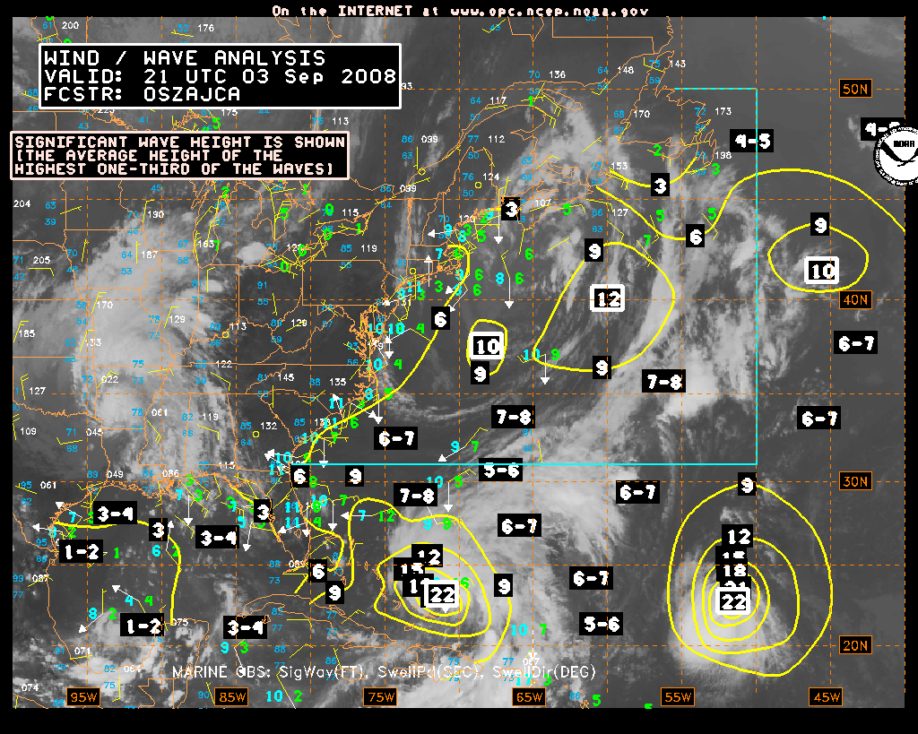
OPC began to produce experimental gridded significant wave height forecasts in 2006, a first step toward digital marine service for high seas and offshore areas. Additional gridded products such as surface pressure and winds are under development. Recently, OPC began to use the NWS operational extratropical storm surge model output to provide experimental extratropical storm surge guidance for coastal weather forecast offices to assist them in coastal flood warning and forecast operations.
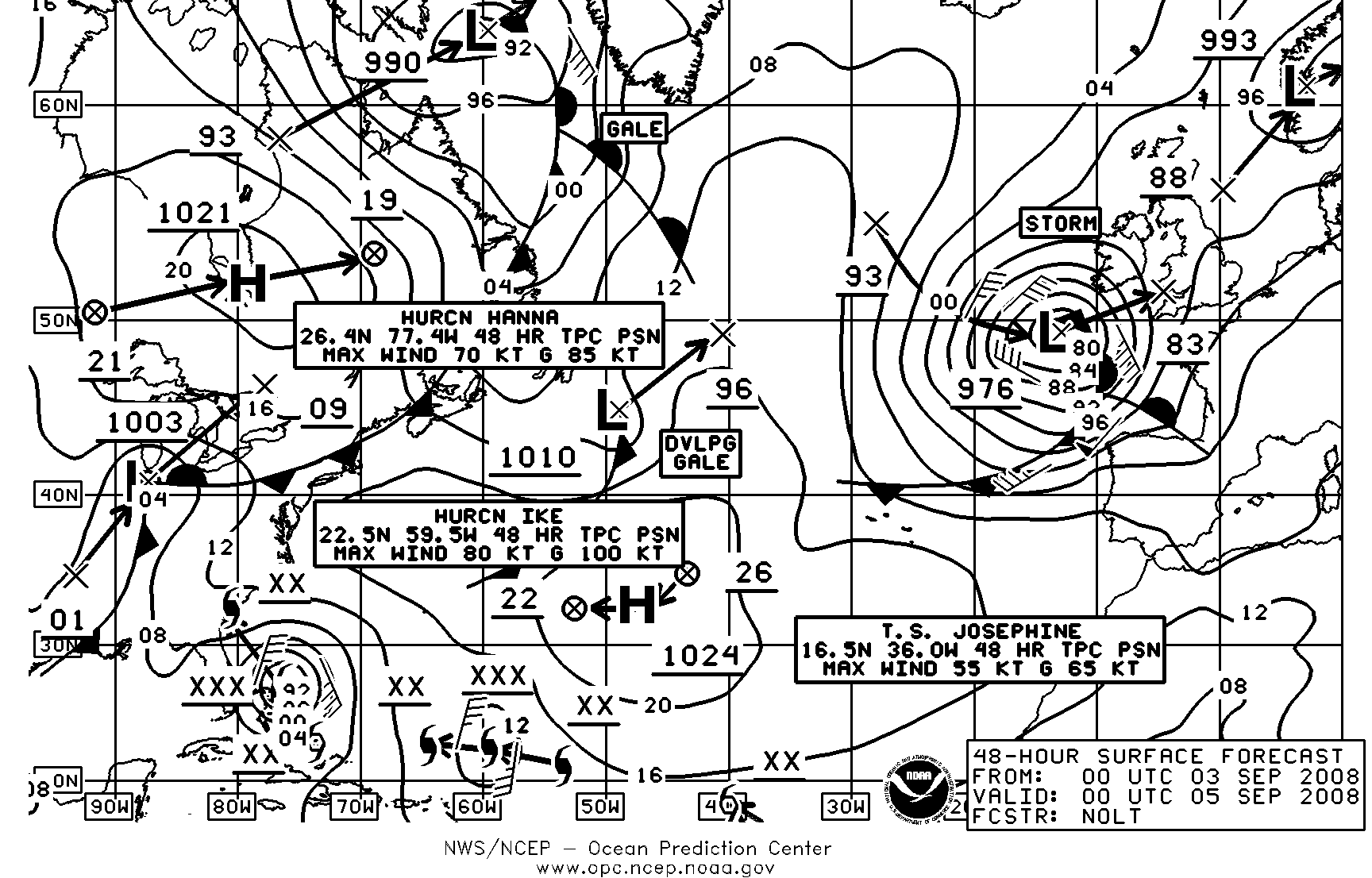
Role in the unified surface analysis
The OPC provides an important role in the production of the National Weather ServiceNational Weather Service
The National Weather Service , once known as the Weather Bureau, is one of the six scientific agencies that make up the National Oceanic and Atmospheric Administration of the United States government...
Unified Surface Analysis
Surface weather analysis
Surface weather analysis is a special type of weather map that provides a view of weather elements over a geographical area at a specified time based on information from ground-based weather stations...
. After the Hydrometeorological Prediction Center
Hydrometeorological Prediction Center
The Hydrometeorological Prediction Center is one of nine service centers under the umbrella of the National Centers for Environmental Prediction , a part of the National Weather Service, which in turn is part of the National Oceanic and Atmospheric Administration of the U.S. government...
, or HPC, sends out their analysis for the synoptic hour, OPC cuts and stitches the HPC analysis to its area. The Tropical Prediction Center, or TPC, stitches the analysis from the Honolulu Forecast Office onto their map, before it is sent up to OPC. The OPC analysts then stitch together the entire analysis, and send it to the world through their website. The analysis covers much of the Northern Hemisphere
Northern Hemisphere
The Northern Hemisphere is the half of a planet that is north of its equator—the word hemisphere literally means “half sphere”. It is also that half of the celestial sphere north of the celestial equator...
, except for eastern Europe
Europe
Europe is, by convention, one of the world's seven continents. Comprising the westernmost peninsula of Eurasia, Europe is generally 'divided' from Asia to its east by the watershed divides of the Ural and Caucasus Mountains, the Ural River, the Caspian and Black Seas, and the waterways connecting...
and the western half of Asia
Asia
Asia is the world's largest and most populous continent, located primarily in the eastern and northern hemispheres. It covers 8.7% of the Earth's total surface area and with approximately 3.879 billion people, it hosts 60% of the world's current human population...
.
Quality control of marine observations
In 1994, OPC began to quality control global surface marine observations. Using an automated algorithm and interactive system, forecasters examine the latest observations from Voluntary Observing Ships and drifting and moored platforms and compare them against short-projection model runs. Worldwide surface marine observations come to OPC via the World Meteorological OrganizationWorld Meteorological Organization
The World Meteorological Organization is an intergovernmental organization with a membership of 189 Member States and Territories. It originated from the International Meteorological Organization , which was founded in 1873...
’s Global Telecommunications System
Global telecommunications system
The Global Telecommunications System is a global network for the transmission of meteorological data from weather stations, satellites and numerical weather prediction centres....
in real time. These quality control measures remove spurious data before the data are ingested into models to initialize forecasts. Several hundred of these observations are interactively examined daily. In addition, the quality controlled data are used by OPC forecasters to determine if gale, storm, or hurricane force wind warnings are warranted.
Ocean Applications branch
The Ocean Applications Branch plays an important role in enhancing OPC operations and services. One example is the adaptation of ocean surface winds observed from the QuikSCAT satellite in early 2000. Prior to the QuikSCAT launch, there was no ability to observe, verify, and warn of hurricane-force wind conditions, areas where wind speed exceeds 64 knots (125.4 km/h), often associated with strong winter ocean storms. With QuikSCAT data routinely available in 2000, OPC began to issue hurricane-force wind warnings. In the 2006-2007 winter storm season, over 100 hurricane-force wind warnings were issued for North Pacific and North Atlantic oceans to warn ships of these most severe weather hazard conditions over major shipping routes. Preliminary results from a recent study estimates that in the absence of good information about extra-tropical ocean storms, the annual loss to container and dry bulk shipping would be on the order of more than $500 million. Operational marine warnings and forecasts reduce the above estimated annual loss by nearly one half.OPC has a number of ongoing research-to-operations transition efforts that will lead to a suite of new oceanographic analysis and forecast products, such as ocean temperatures and currents based on real time observations and advanced global and basin scale ocean forecasting models. Global ocean sea surface temperatures and currents are now available on the OPC website.
See also
- Environmental Modeling CenterEnvironmental Modeling CenterThe Environmental Modeling Center , improves numerical weather, marine and climate predictions at the National Centers for Environmental Prediction , through a broad program of research in data assimilation and modeling...
- Hydrometeorological Prediction CenterHydrometeorological Prediction CenterThe Hydrometeorological Prediction Center is one of nine service centers under the umbrella of the National Centers for Environmental Prediction , a part of the National Weather Service, which in turn is part of the National Oceanic and Atmospheric Administration of the U.S. government...
- Space Environment CenterSpace Environment CenterThe Space Weather Prediction Center , formerly the Space Environment Center , is a laboratory and service center of the National Oceanic and Atmospheric Administration National Weather Service located in Boulder, Colorado. SWPC continually monitors and forecasts Earth's space environment,...
- Storm Prediction CenterStorm Prediction CenterThe Storm Prediction Center , located in Norman, Oklahoma, is tasked with forecasting the risk of severe thunderstorms and tornadoes in the contiguous United States. The agency issues convective outlooks, mesoscale discussions, and watches as a part of this process...
- Tropical Prediction Center